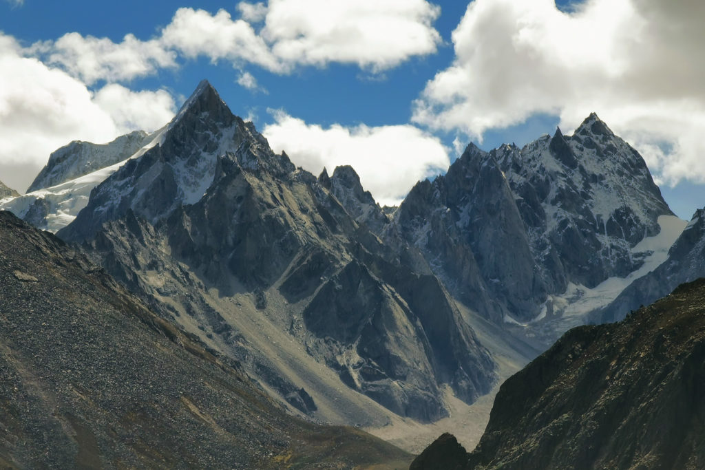
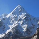
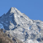
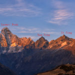
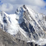
Next to Mt. Jiazi there is a 5,910-meter peak called Mt. Melcyr . It is also called Melyeri by local Tibetans meaning “the hiding mountain”, thus this name was called by the German DAV team afer their summit in October 2012.
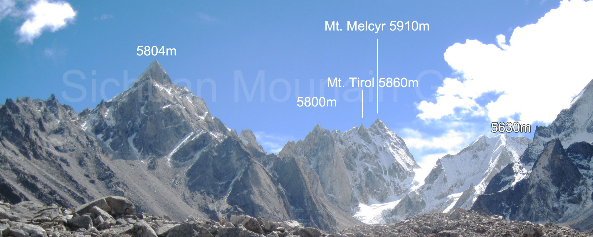
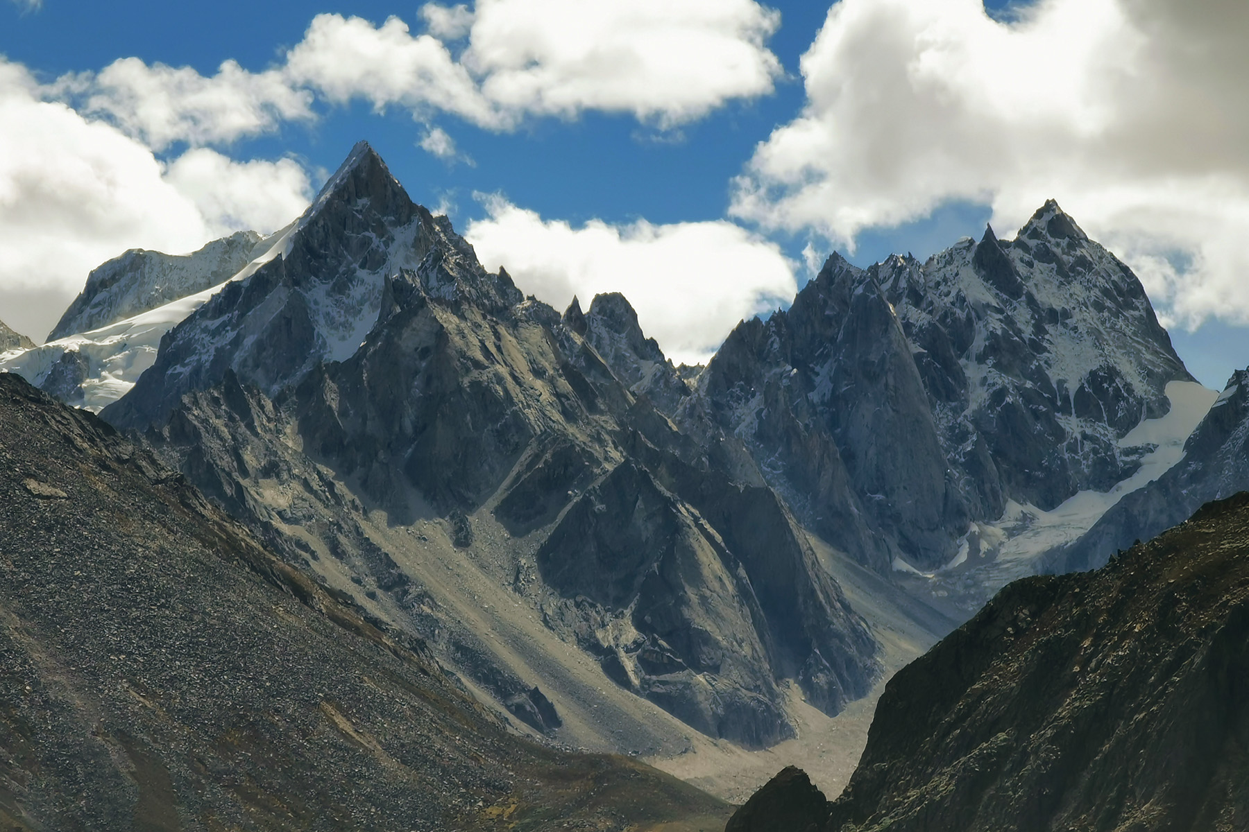
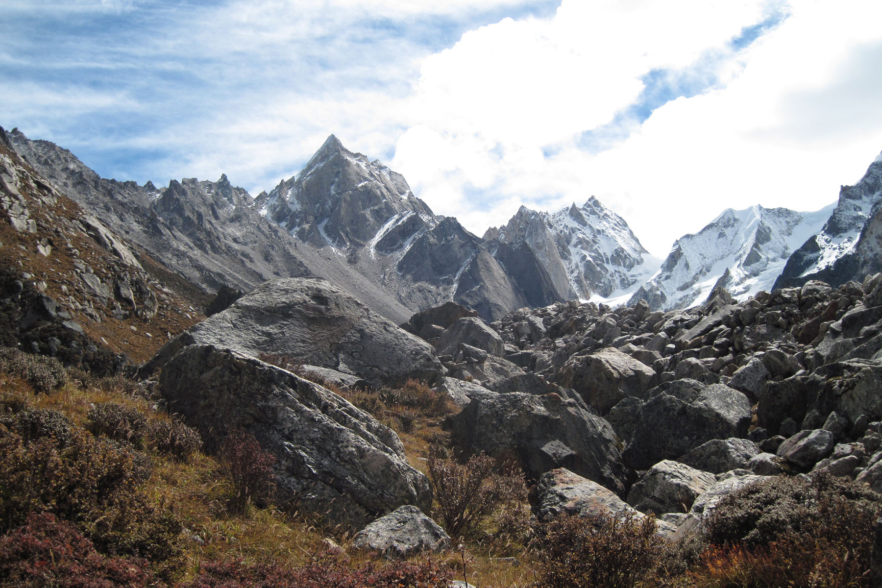
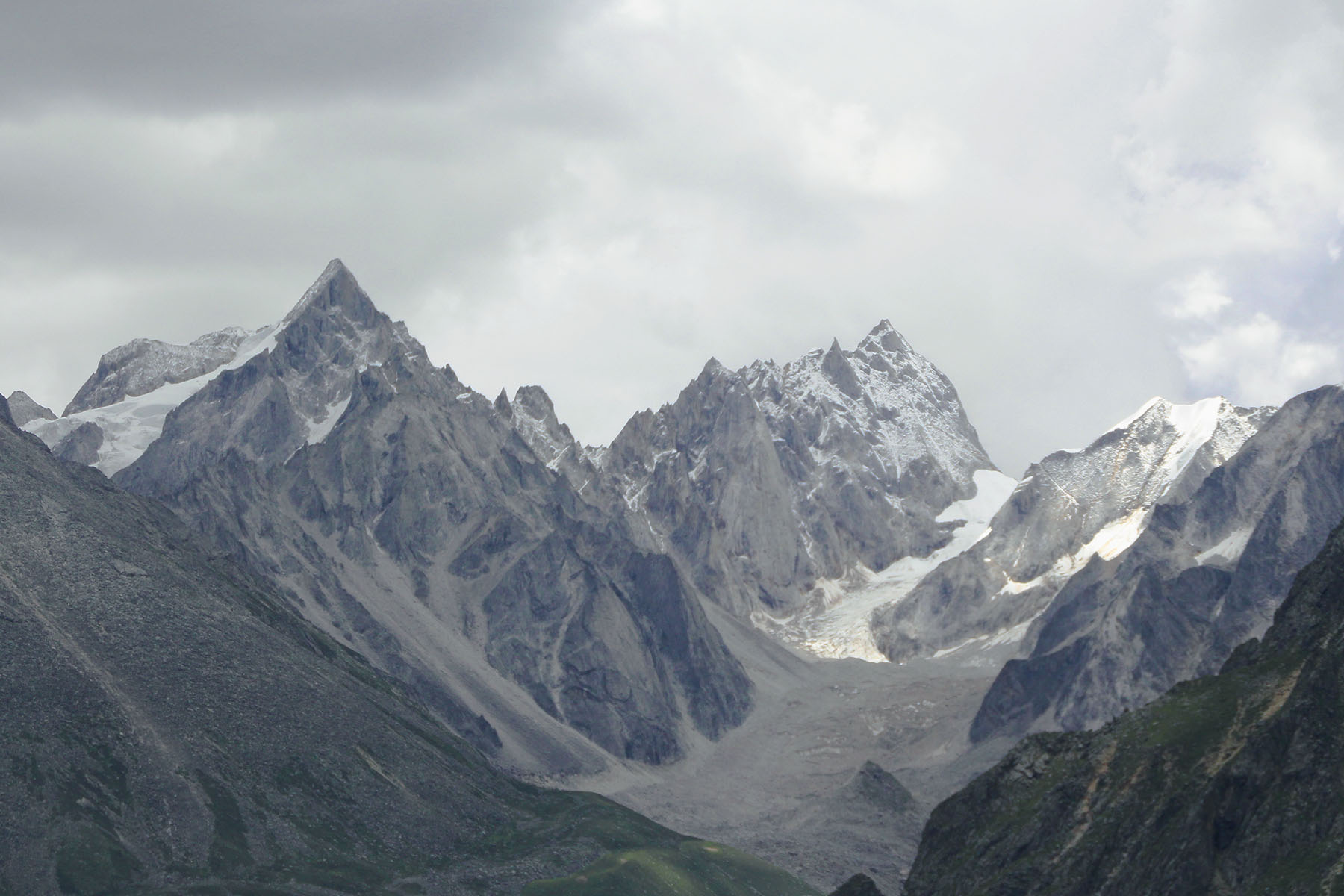
Mt. Melcyr is located in the northern part of Minya Konka Range. It is at an altitude of 5910 meters. It is north by Mt. Jiazi Peak and Little Konka. There are glaciers on its north and west sides as well as on the north side. The area is acctually large. East to this peak is Nanmenguan Valley, a long valley by the east of Minya Konka and eastern approaches to east face of Jiazi and east/north face of Mt. Edger.
Mt. Melcyr has several peaks. The main peak is at 5910 meters. Mt. Tirol is at 5860 meter, which is climbed later in 2014. And there is another peak at 5800 meters more to the north of the Melcyr peaks. All peaks are on the same ridge. 2 kilometers northwest of Melcyr there is a 5804-meter independent mountain peak. Between the col of Jiazi and Melcyr there is a 5,630-meter mountain.
The 5804-m mountain is located at 29.48.12N, 101.54.28E.
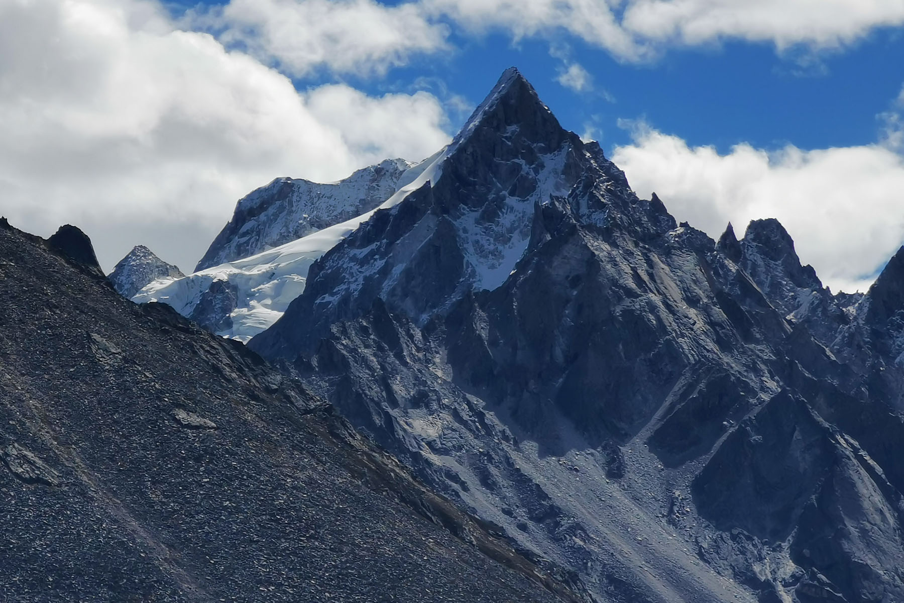
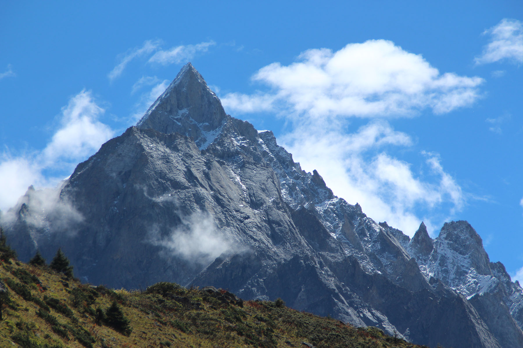
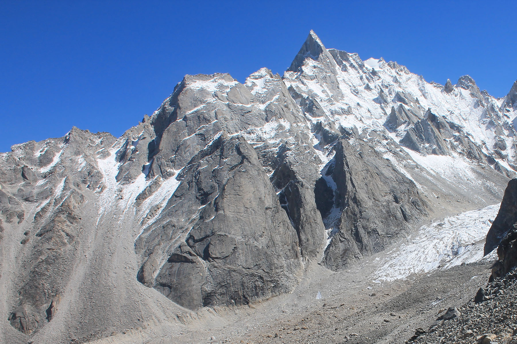
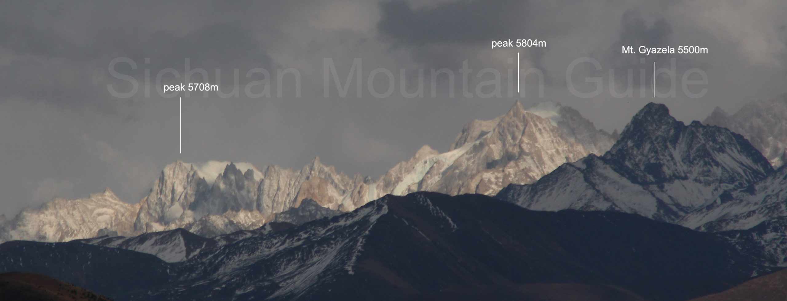
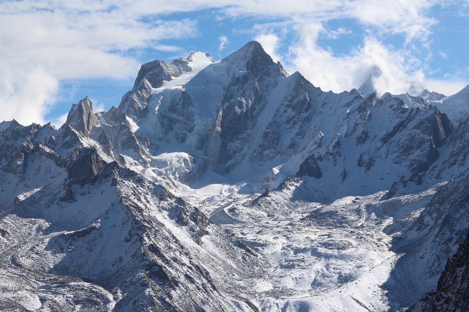
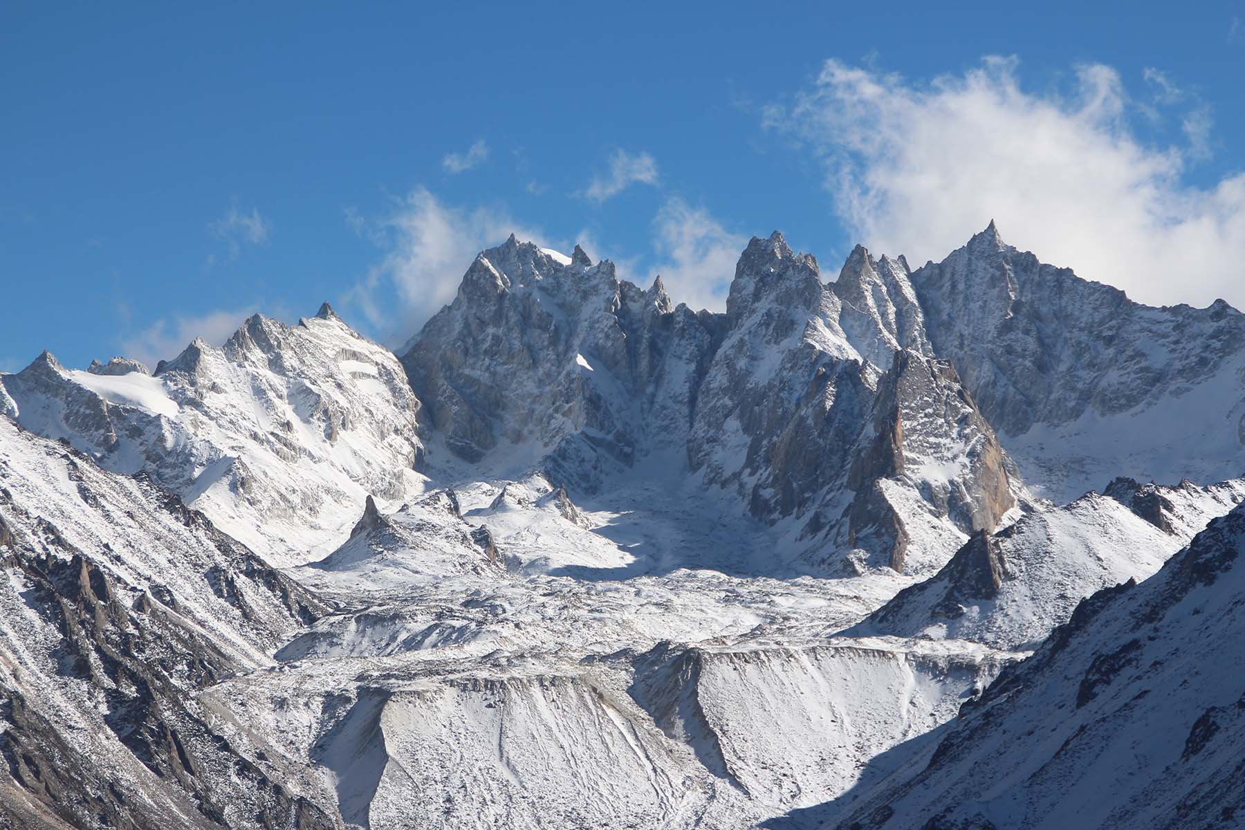
Recent explorations include 2012 German team, 2014 Italian Team. Both teams approached from Laoyulin, with 1-day walk and set base camp by around 3800 meters below Little Konka. And climbed by its northwest walls. The east of these mountains haven’t been tried.
Essential Locations
Kangding is a town north to these mountains and usually used as the stopover place.
Moxi is a tourist town located east to these mountains.
Laoyulin is the village south to the town of Kangding and the stopover place to the mountains north of Minya Konka.


